Trail Walking Les Plantiers - FAVEYROLLES - COL DE L ESPINAS - 15.2Km - 04h30 - Dénivelé 599 m - Photo

FAVEYROLLES - COL DE L ESPINAS - 15.2Km - 04h30 - Dénivelé 599 m

© OpenStreetMap contributors
Length
Length
15.4 km
Max alt
Max alt
909 m
Uphill gradient
Uphill gradient
581 m
Km-Effort
Km-Effort  
23 km
Min alt
Min alt
408 m
Downhill gradient
Downhill gradient
593 m
Boucle
Boucle
Yes
Creation date :
2014-12-10 00:00:00.0
Updated on :
2014-12-10 00:00:00.0

(0 Reviews)

Walking
Walking
4h55
Difficulty : Medium

Scan this QR Code to open this trail in the SityTrail application

FREE GPS app for hiking

Logo SityTrail SityTrail

IGN / Geographical institutes

Download SityTrail from the App Store Download SityTrail from Google Play

Logo SityTrail SityTrail World

The world is yours!

Download SityTrail from the App Store Download SityTrail from Google Play Download SityTrail on Huawei AppGallery

About

Trail Walking of 15.4 km to be discovered at Occitania, Gard, Les Plantiers. This trail is proposed by dansmabulle.

Description

FAVEYROLLES - COL DE L ESPINAS
15.2Km - 04:30
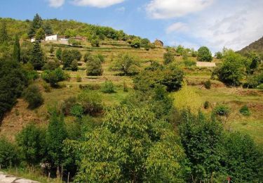
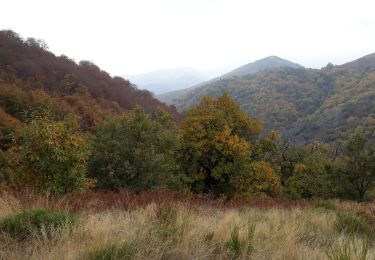
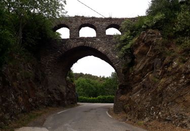
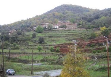
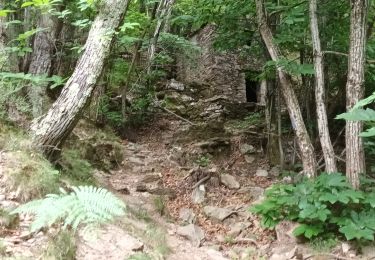
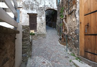
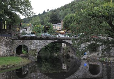
Départ randonnée : Faveyrolles ou Les Plantiers (Gard 30) Parcours créé par OT de la vallée Borgne en Cévennes mais que j'ai réalisé au départ des Plantiers.Départ à midi avec arrêt pique-nique aux Plantiers à l'aire de jeux pour enfants.Des Plantiers, montée vers les ruines de St Marcel de Fontfouillouse ( la visite s'impose ) puis montée progressive et passages en crête au col de l'Espinas. Descente assez sportive et glissante vers Faveyrolle en passant par les ruines de Recoule. Belles cascades après la pluie...ce fut mon cas. Comptez 4h sans les arrêts et de bonnes chaussures...! Bonne randonnée 

Elevation profile

Positioning

Country:
France
Region :
Occitania
Department/Province :
Gard
Municipality :
Les Plantiers
Location:
Unknown
Start:(UTM)
555093 ; 4884272 (31T) N.

Trails nearby

Trail Walking Les Plantiers - Sentier de Saint Marcel de Fontfouillouse -  Les Plantiers - Photo
Walking
tracegps

Walking

Very difficult
(1)
Les Plantiers, Occitania, Gard, France
13.6 km | 21 km-effort
4h 0min
Yes
Trail Walking Les Plantiers - Vallée Borgne - Photo
Walking
GUIDE
nadinebondoux

Walking

Difficult
Les Plantiers, Occitania, Gard, France
19.7 km | 32 km-effort
5h 19min
Yes
Trail Walking Les Plantiers - vallée Borgne - Photo
Walking
GUIDE
nadinebondoux

Walking

Difficult
Les Plantiers, Occitania, Gard, France
25 km | 36 km-effort
6h 15min
Yes
Trail Walking Bassurels - Aire de Côte - Mas Corbières - Photo
Walking
jeanluc.smets

Walking

Medium
(1)
Bassurels, Occitania, Lozère, France
13.9 km | 20 km-effort
4h 5min
No
Trail Walking Les Plantiers - Les Plantiers et st Marcel de Fontfouillouse - Photo
Walking
GUIDE
randotines

Walking

Difficult
(1)
Les Plantiers, Occitania, Gard, France
13.6 km | 21 km-effort
4h 33min
Yes
Trail Walking Les Plantiers - Sentier du Mouflon - Les Plantiers  - Photo
Walking
GUIDE
randotines

Walking

Difficult
Les Plantiers, Occitania, Gard, France
11.2 km | 18.6 km-effort
3h 30min
Yes
Trail Walking Val-d'Aigoual - Cascade d'Orgon-15-06-22 - Photo
Walking
Christiancordin

Walking

Difficult
Val-d'Aigoual, Occitania, Gard, France
22 km | 40 km-effort
6h 17min
Yes
Trail Walking Val-d'Aigoual - 4000 marches-14-06-22 - Photo
Walking
Christiancordin

Walking

Very difficult
Val-d'Aigoual, Occitania, Gard, France
30 km | 50 km-effort
7h 47min
Yes
Trail On foot Les Plantiers - Sentier de Fontfouillouse - Photo
On foot
GUIDE+

On foot

Easy
Les Plantiers, Occitania, Gard, France
9.2 km | 15.2 km-effort
3h 27min
No


Close
My subscriptions